Going ahead this Saturday
No cancellation listed for Saturday 31 October.
Parkrun
Picnic Point Parklands parkrun

A free, fun, and friendly weekly 5k community event. Walk, jog, run, volunteer or spectate – it's up to you!
-
Australia
-
Queensland
- 5 kilometres
- Picnic Point Parklands
Meeting point: -27.57894, 151.98602. The interactive map loads with JavaScript. Open the same point in OpenStreetMap.
Coordinates -27.57894, 151.98602.
The course
Course description
The course is within the Picnic Point Parklands reserve on the Toowoomba Range escarpment. The course is 2.5 laps clockwise at the top of Picnic Point and is on a mixture of grass, footpath and trail through bushland, which is home to a variety of local fauna including snakes, kangaroos, wallabies, bush turkeys, goannas and spiders. Parts of the course may have some mud when it has been raining significantly. Along the way, enjoy scenic views over the Lockyer Valley and a beautiful waterfall. The start is adjacent to the Picnic Point waterfall, with the finish at Bill Goulds lookout.
Due to the terrain, parts of the course may make it harder for people with buggies & pushchairs - please contact the team in advance for further information.
On the course
The course is 5k long. The course is at Picnic Point Parklands, Rangeville. The course is run on a combination of grass, permanent paths and trail paths. Some sections of the course may accumulate mud, leaves and puddles after rain. Dependent on availability, marshals will be at key sections of the course, or signs will be in place.
Please remember that the parkrun uses shared paths. For the continued success of the event, please give way to other park users. This won't hurt your time, it won't stop you from getting a PB and it will make sure everyone continues to enjoy the event.
Please, wherever possible walk, jog, cycle or use public transport when attending the event. If you do have to drive, please consider car-sharing to reduce our impact on both the environment and other park users. Please also watch out for other park users when arriving and leaving. Parking may be limited so try to arrive early.
Facilities
There are a range of recreational facilities to enjoy in the Picnic Point Parklands precinct including: multiple playground areas catering for younger and older children; picnic and barbecue facilities; water bubblers; lookouts and stunning views over the escarpment; bushwalking trails; waterfall and gardens; toilets; and parking areas.
More details
Public transport
There is no public transport available to Picnic Point Parklands at the time of event.
On foot
From CBD (intersection Margaret Street & Ruthven Street) walk east on Margaret Street for 600m then bear right onto Kitchener Street. Walk 1.9km and turn right on Mackenzie Street, 35m turn left on Drummond Street then after 955m, turn right onto Tourist Drive. Remain on Tourist Drive for 1km to arrive at destination. Distance 5km.
By road
East: Hwy A21 to top of range then turn L onto Tourist Rd. Drive 500m, at roundabout take 1st exit onto James St. Drive 150m and continue onto Tourist Rd and remain.
North: Hwy A3 to Toowoomba. Turn L onto Chalk Dr then after 500m, R onto Hume St. Drive 250m then L onto Margaret St to roundabout. Take 2nd exit onto Kitchener St and drive for 1.9km to next roundabout. Take 2nd exit onto Perth St, drive 900m, then turn R onto Tourist Rd and remain.
South: Hwy A3 to Toowoomba. Turn R into Nelson St then after 1.3km, turn R onto Ramsay St into Nelson St. After 600m turn L onto Rowbotham St, drive 4.7km, then arrive at Tourist Rd and remain.
West: Hwys A2 & A21. Continue into Bridge St for 2.5km then turn R onto Ruthven St. After 600m, L onto Chalk Dr then after 500m, R onto Hume St. Drive 250m then L onto Margaret St to roundabout. Take 2nd exit onto Kitchener St and drive for 1.9km to next roundabout. Take 2nd exit onto Perth St then after 900m, R onto Tourist Dr and remain.
Parking is available in several locations throughout the Picnic Point Parklands precinct including:
- Lions Park - designated car parks are located adjacent to the park on Tourist Rd.
- Heller St Park - the car park is accessible from Heller St and the Picnic Point Ring Rd.
- Picnic Point Park - car parking areas located at various points along the Picnic Point Ring Rd (located at the most eastern end of Tourist Rd).
Coffee
Every week we grab a post-parkrun coffee: a local café. Please come and join us!
We're friendly
Every week we grab a post parkrun coffee at a local café - please come and join us!
Course safety
Picnic Point Parklands parkrun is a fun, free event organised by volunteers for the benefit of everyone. We wish to make the event as safe as possible, so participants, spectators and helpers are asked to take care about the following:
- Please be considerate to the park and other park users at all times.
- Children under the age of eleven must be accompanied (within arm's reach) throughout the event by a parent, guardian or appropriate adult of the parent's choice.
- Please arrive by foot, by pedal-power or by public transport if you can - your efforts help to reduce our impact on the park and the planet.
- We invite everyone to consider volunteering at parkrun. Your support helps your parkrun events remain sustainable and free for all in your community, and it’s also a wonderful way to improve your own health and happiness. Please visit the volunteer page for more information.
- Take care near roads and car parks – some vehicles drive very quickly. Please congregate away from the cars and be careful in particular if you have children. If you’re driving to the event, please drive carefully.
- Take care on uneven surfaces – whether on grass or on tarmac. Watch out for cyclists, other participants, pedestrians, children, dogs, wildlife, park animals, vehicles, park maintenance work, falling branches, bollards, posts and other obstacles around the course.
- Please ensure that you are fit enough to walk, jog, run 5k (3.1 miles) with us.
- If you see someone with a serious problem, please stop to help them out and get help as soon as possible.
- If you’re watching, keep clear of participants on the course, and look after any children and dogs you may have with you.
- You are welcome to take part with one dog by your side, within reach at all times, on a short, handheld, non-extendable lead. The use of waist harnesses is prohibited. Please also see this Support Site entry for further details about parkrunning with dogs.
We hope these tips help to ensure that Picnic Point Parklands parkrun is fun and safe for everyone.
Age grading
All parkrun events use Age Grading to help parkrunners compare results.
parkrun events use Age Grading to help parkrunners see progress and compare results.
For more information, please see our Support page.
Volunteering
All parkrun events are organised by volunteers - email picnicpointparklands@parkrun.com to help.
Safeguarding
parkrun is committed to safeguarding and promoting the welfare of children and adults at risk. For our full safeguarding processes and policies please see our Safeguarding Hub.
To report a safeguarding concern please email safeguarding@parkrun.com.
Event stats
- 184
- Events
- 2,822
- Finishers
- 7,917
- Finishes
- 450
- Volunteers
- 1,306
- Personal bests
- 173
- Groups
- 00:37:43
- Average finish time
Nearby parkruns
- Toowoomba parkrun Queens Park · 3.0 km
- South Toowoomba parkrun Middle Ridge Park · 3.4 km
- Highfields parkrun Kratzke Oval · 15 km
- Gatton parkrun Lake Apex · 28 km
- Oakey parkrun Oakey Park · 31 km
- Pittsworth parkrun Pittsworth · 37 km
- Hidden Vale parkrun Hidden Vale · 50 km
- Old Esk Railway Station parkrun Old Esk Railway Station · 57 km
Challenges this parkrun helps with
- Alphabeteer Challenge Starts with P
- Periodic Table Matches symbols: P, Pd, Pr, Pt, Po, Pa, …
Parkrun Planner
Line up your Saturdays. Add the parkruns you want to visit, then turn on the challenges you want help finishing.
Suggestions update from your plan and lean towards events near home. Save the weekends on this device, or to your account when you are logged in.
Plan your weekends Bushy parkrun
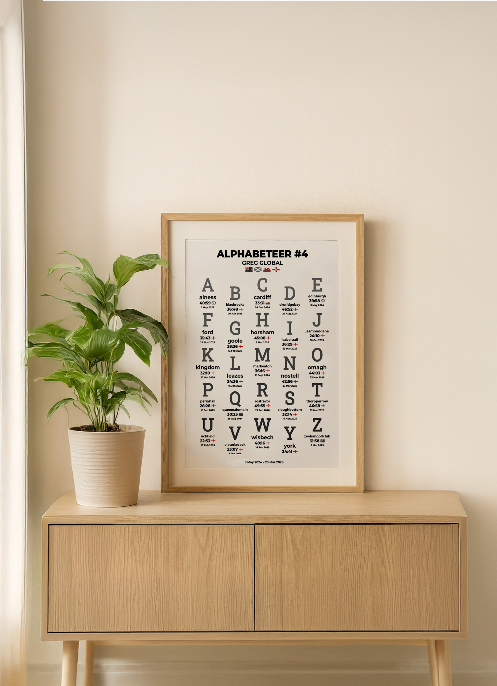
High quality prints
Get your parkrun achievements in stunning detail. Choose from digital downloads to print yourself, or opt for our premium professional printing service featuring high-quality glossy paper with deep, vibrant inks for exceptional color depth and clarity.
Available in both A4 and A3 sizes, perfect for framing and displaying your running accomplishments. Every print is crafted with precision to showcase your milestones, challenges, and legends in the finest quality.
Check out our awardsPark5K is not affiliated with parkrun. - last updated 26 October 2026